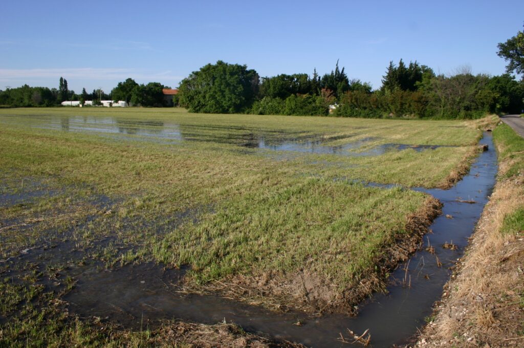
The alluvial aquifer of the Avignon plain is located between the Rhône and the Durance rivers, within a highly anthropized environment characterized by heterogeneous land use combining urban areas, industrial infrastructures, commercial zones, and agricultural surfaces.
This aquifer exhibits an atypical hydrodynamic behavior, with high piezometric levels occurring during the summer period. This pattern is mainly explained by gravity irrigation practices involving flood irrigation of meadows, which generate substantial water inputs and constitute a major mechanism of aquifer recharge.
Given its strategic role in supplying water to part of the territory, this aquifer has been the subject of modeling studies, notably the development of a numerical groundwater flow model at the aquifer scale (Nofal, 2014).
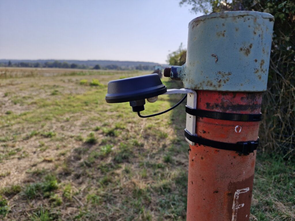
Quantitative monitoring relies on a network of eight piezometric probes progressively installed since 2010, enabling continuous acquisition of groundwater level time series. This system was significantly strengthened in 2024 through the addition of new instrumented sites and the implementation of telemetry systems, improving both spatial resolution and data availability.
The collected data are integrated into an automated processing workflow, including quality control, validation, and structuring steps. They are then made available through the Avignappe interface, developed within the GeEAUde Chair, allowing real-time access to groundwater level time series.
This monitoring system constitutes a key component for analyzing the hydrodynamic functioning of this aquifer, which is strongly influenced by anthropogenic activities, and for supporting quantitative water resource management.